
Laser Scanning · Scan to BIM · Digital Twins
3D Scanning Services in Los Angeles
We laser scan buildings, job sites and plants across LA, then deliver point clouds, Revit models, CAD drawings and 360 tours you can measure from. Tell us what you need and we will scope it the same day.
- Millimeter-level laser scans of existing conditions
- Scan to BIM in Revit, CAD and Navisworks-ready files
- Matterport and Cupix capture for tours and progress
Call now: (310) 844-0354
Reality Capture in Los Angeles
What a 3D Scan Gives Your Team
A 3D scan records a space as millions of measured points, so your designers and builders stop guessing at what is behind the drywall or how far a beam sags. On an active build, construction 3D scanning checks work in place against the model, and 3D construction documentation adds a dated 360° walk every week or two, tied to the plans. Out on open ground, drone mapping turns a site flight into an orthomosaic, a surface model and stockpile volumes. Before a remodel or a tenant improvement, our as-built documentation and drawings turn a laser scan into a Revit model or a clean CAD set. Owners who run buildings use our digital twin services to find a valve or a panel without a site visit. We also handle the harder rooms: data center scanning around live racks, healthcare facility scanning under infection control rules, and manufacturing and industrial scanning for pipe racks and production lines. For listings, our real estate virtual tours let buyers walk a home from their phone.
Our Services
Nine services, one scanning crew. Each page explains what we capture, what you get back and what drives the price.
Service · Los Angeles
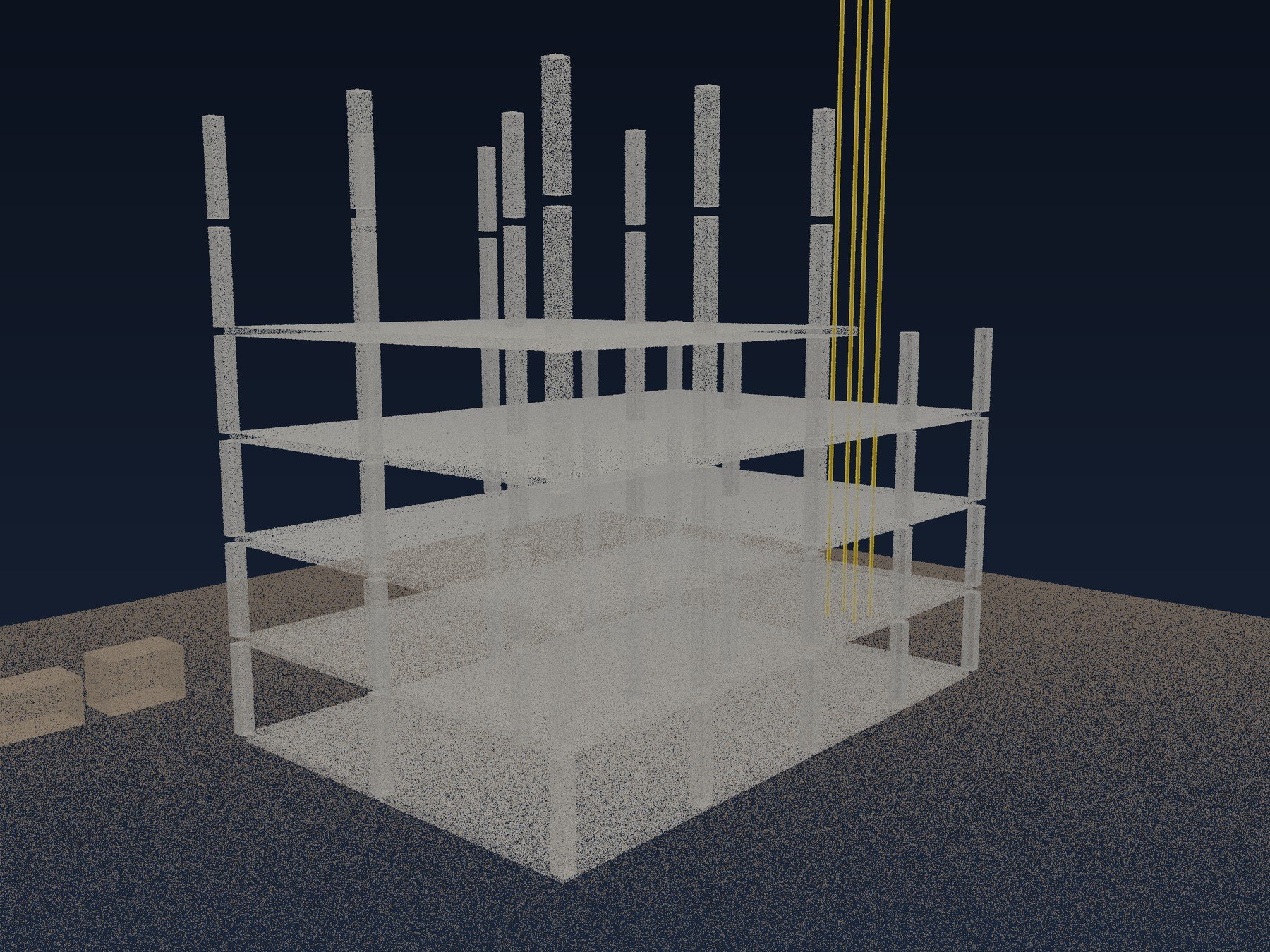
Construction 3D Scanning
Laser scans of work in place, checked against your design model, so slabs, walls, sleeves and embeds that land off position get caught before the next trade builds on them.
- Laser scans of work in place
- Scan vs. model checks with color maps
- Slab flatness and embed reports
Service · Los Angeles
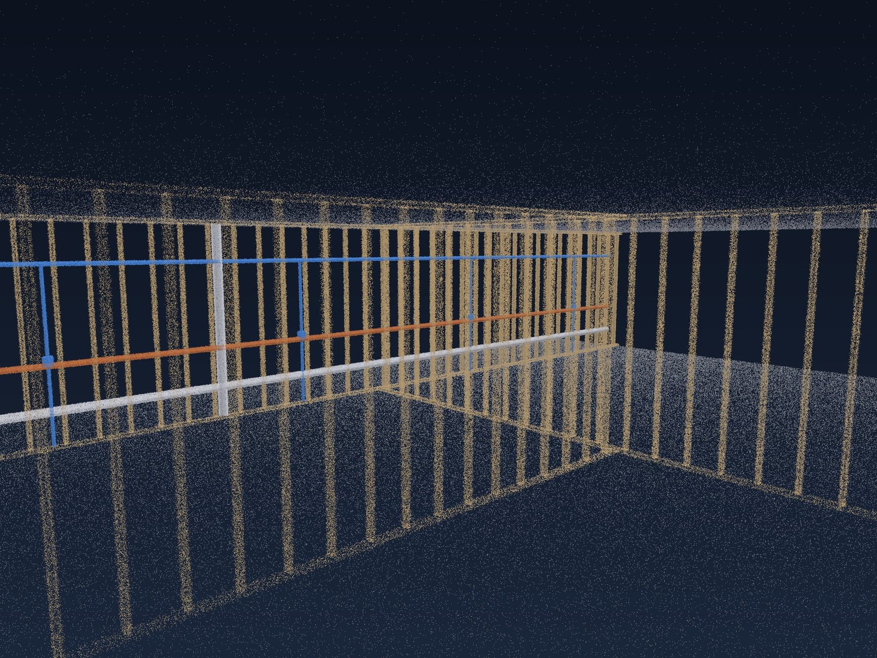
3D Construction Documentation
Dated 360° site walks pinned to your plans, from pre-construction conditions to pre-drywall captures and closeout, shared through Cupix, Matterport or your own platform.
- Weekly or biweekly 360° walks pinned to your plans
- Pre-drywall and above-ceiling captures
- Cupix and Matterport capture available
Service · Los Angeles
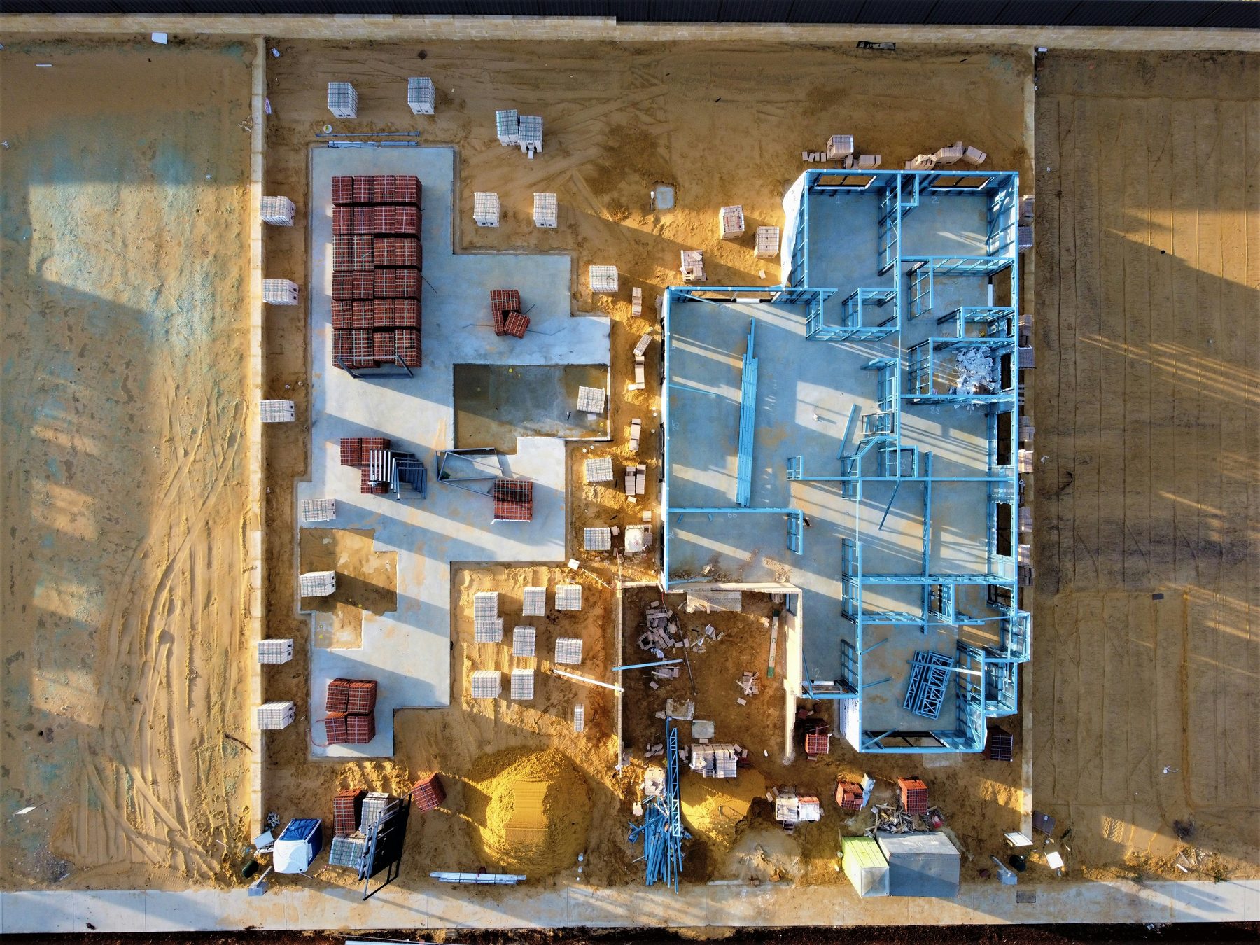
Drone Mapping
FAA-licensed drone flights that turn a site into orthomosaic maps, surface models, contours, stockpile volumes and 3D point clouds.
- FAA Part 107 licensed pilots
- Orthomosaics, contours and 3D site models
- Stockpile volumes and cut-fill reports
Service · Los Angeles
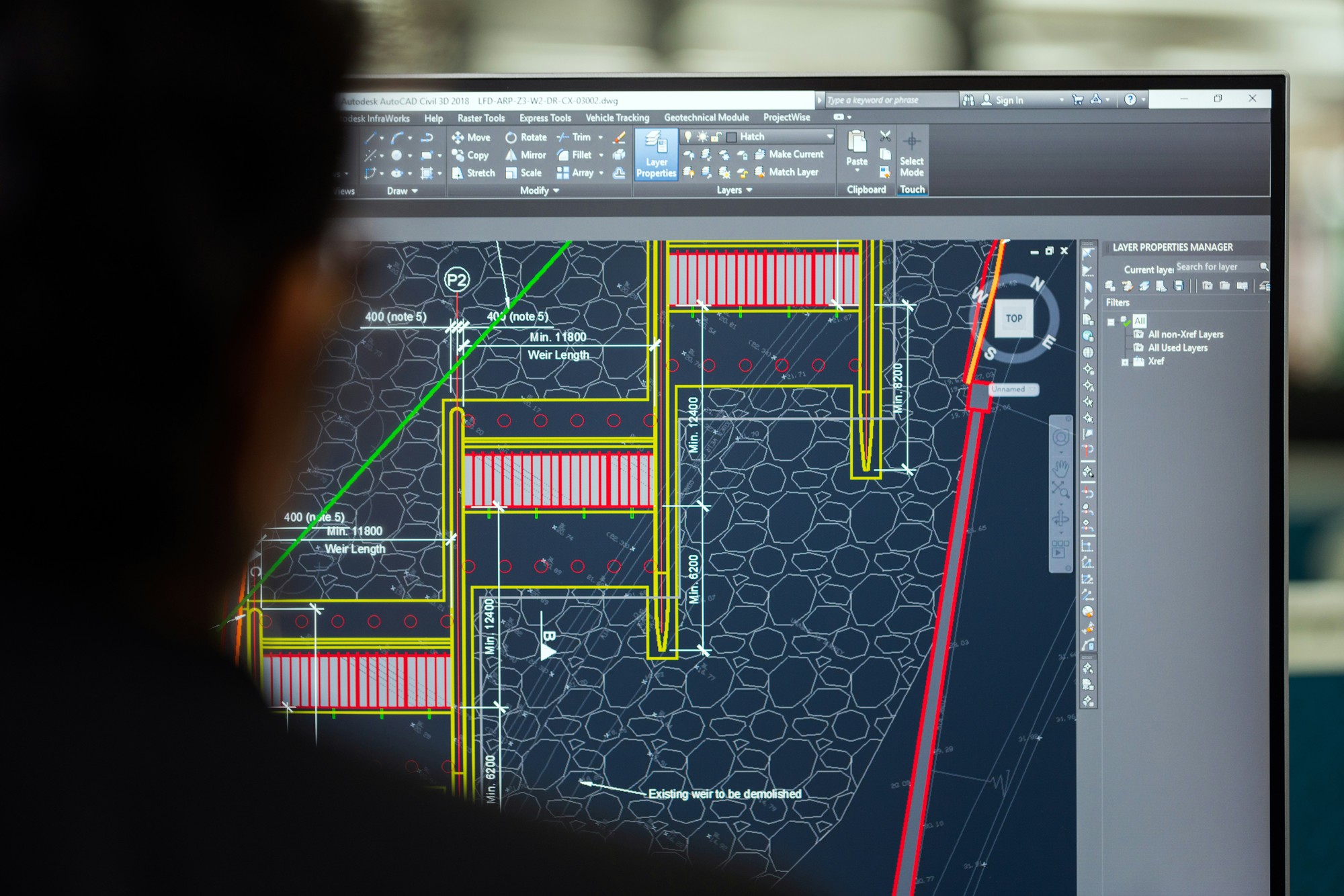
As-Built Documentation & Drawings
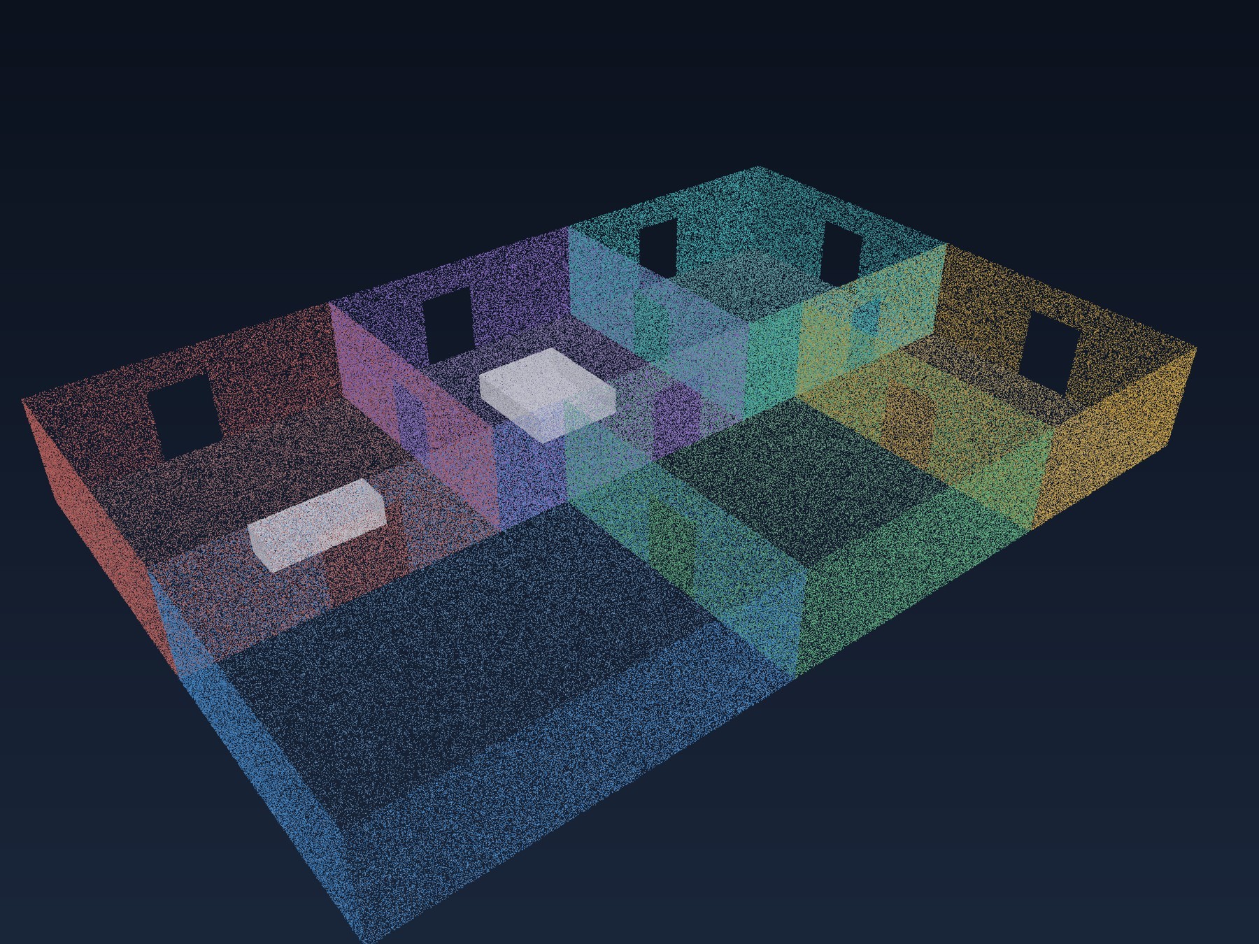
Laser scans of existing buildings turned into Revit models, CAD floor plans, sections and elevations at the level of detail your design team needs.
- Scan to BIM in Revit at LOD 200 to 350
- CAD floor plans, RCPs, sections and elevations
- E57 and ReCap point clouds included
Service · Los Angeles
Digital Twin Services
Scanned, accurate building models linked to equipment data, so facility teams can find assets, plan work and train staff without walking the building.
- Tagged 3D tours of equipment and rooms
- Revit models with asset data and COBie fields
- Links to maintenance and work order software
Service · Los Angeles
Data Center Scanning
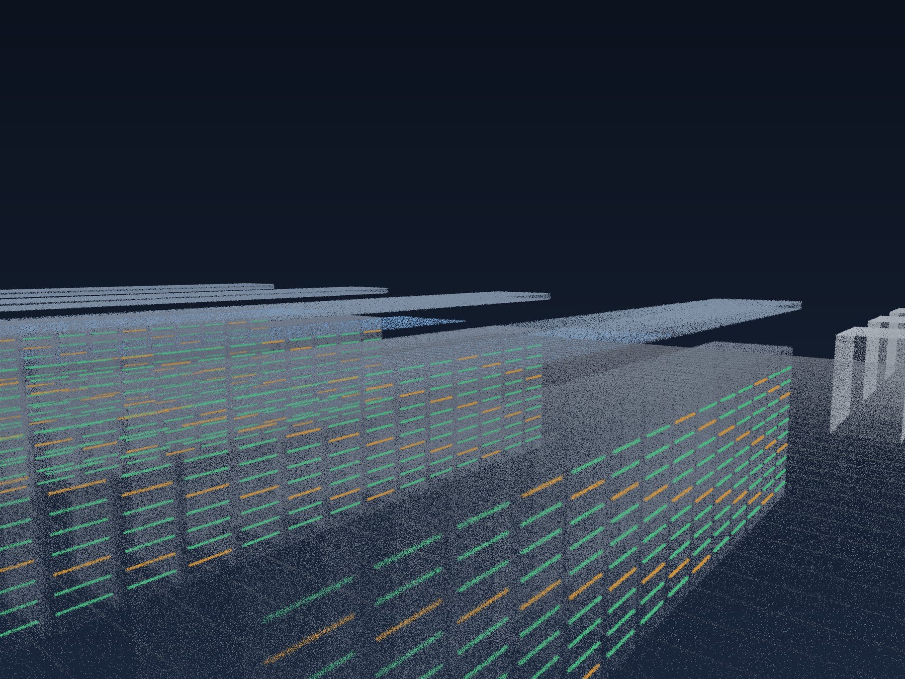
Laser scans of white space, power and cooling rooms captured around live equipment, with models for capacity planning, retrofits and new deployments.
- Non-contact scanning around live equipment
- Racks, trays, busways and plenums modeled
- Escort, badging and background checks supported
Service · Los Angeles
Healthcare Facility Scanning
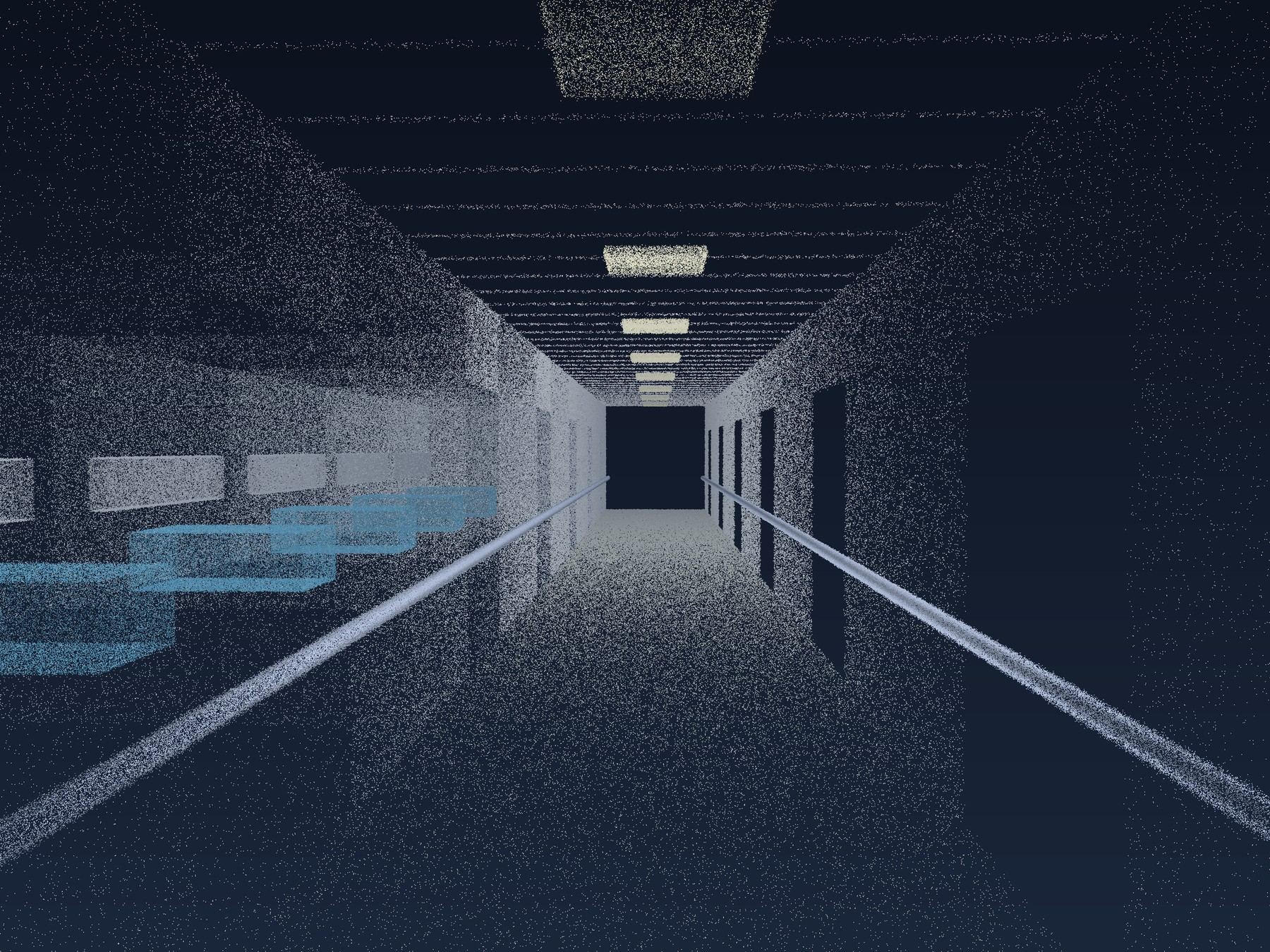
Laser scans of hospitals, clinics and medical offices captured under infection control rules, with as-builts for renovations and equipment upgrades.
- Scans of occupied hospitals and clinics
- Infection control precautions followed
- Above-ceiling MEP captured where allowed
Service · Los Angeles
Real Estate Virtual Tours
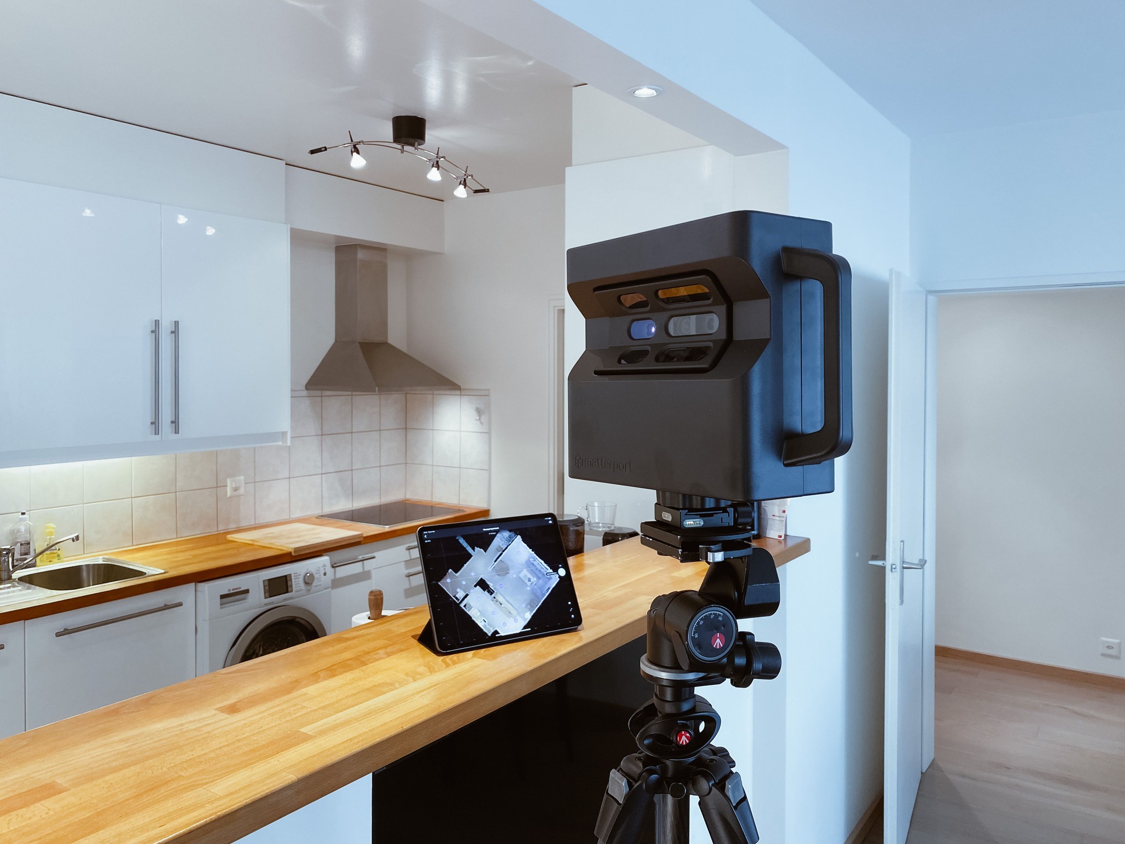
Matterport 3D tours, floor plans and photos for homes, rentals and commercial listings, with MLS-ready unbranded links.
- Matterport 3D tours with dollhouse view
- Schematic floor plans with dimensions
- Unbranded MLS links and branded links
Service · Los Angeles
Manufacturing & Industrial Scanning
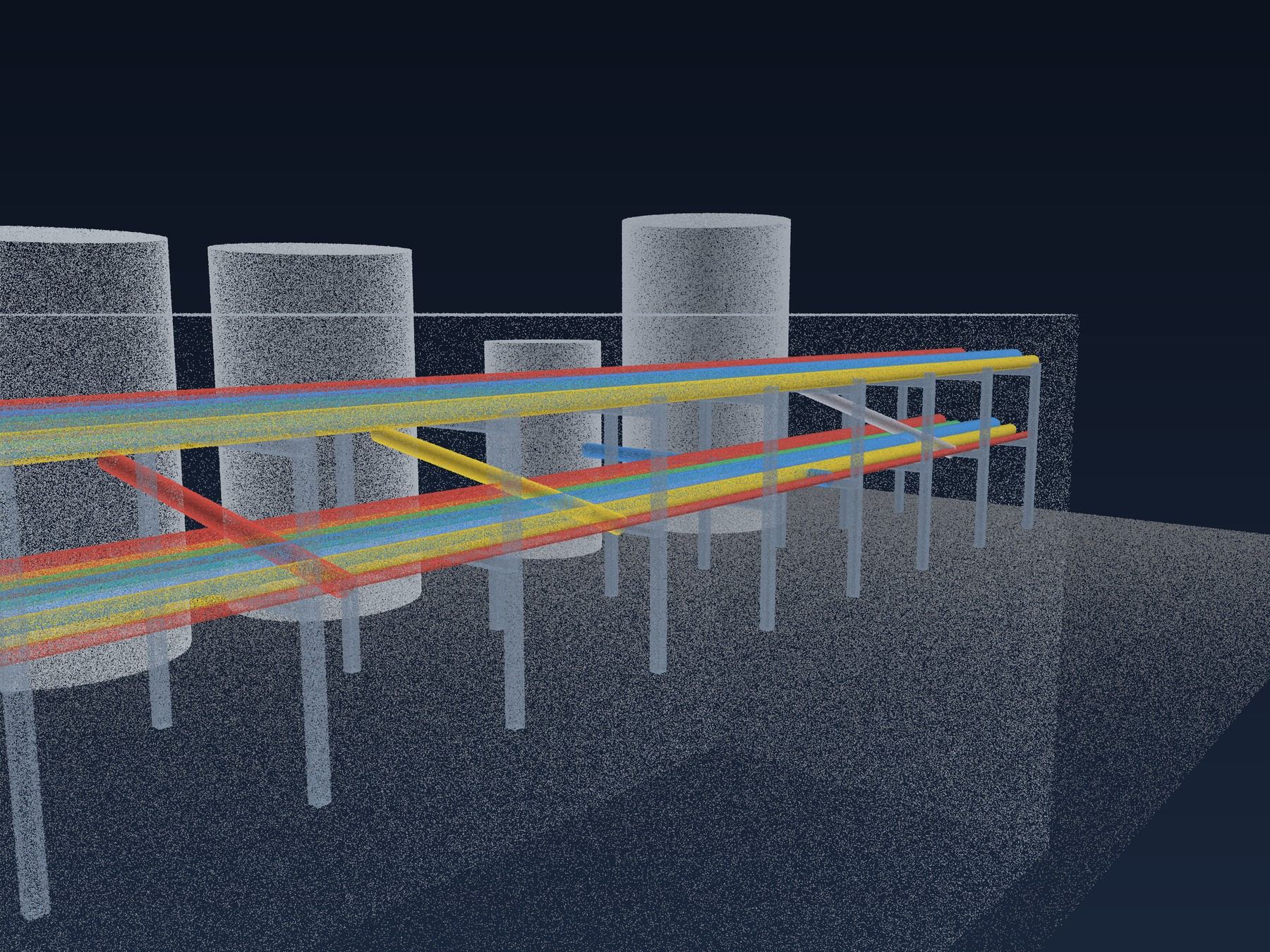
Laser scans of plants, pipe racks, production lines and warehouses for retrofits, equipment installs and turnaround planning.
- Pipe racks, steel and equipment scanned
- Data ready before turnarounds close
- Models for plant design, Revit and CAD
Why Teams Hire a Dedicated Scanning Crew
Plenty of firms own a scanner. Fewer have someone who runs it every day, knows where to set up so the data closes, and checks the registration before anyone models from it. That is all we do. Our field techs plan scan positions from your drawings, set targets where the job needs tight control, and capture each space in one visit when they can. Back at the office, a second person checks the registration report and spot measures against known dimensions. Your modeler or architect gets clean, organized data with a short report saying how it was captured and how accurate it is.
How We Handle Your Project
We start by asking what the scan is for, because a fit-out in a Culver City office needs a very different deliverable than a pipe rack tie-in in Torrance. That answer sets the scan density, the level of detail in the model and the price. We write the scope down before we roll a truck, including file formats, level of development and the date you get the files. If something on site changes the plan, such as a locked room or a ceiling we cannot open, we call you that day instead of finding out at delivery.

What Goes Wrong With a Rushed Scan
A scan with too few setups leaves shadows behind columns and ducts, and the modeler fills those gaps with guesses. Skipping targets on a long corridor lets small errors stack up, so the far end drifts by inches. Handing over a raw point cloud with no notes leaves your team unsure what was captured and what was missed. Before you hire anyone, ask what accuracy they will state in writing, how they check registration, what level of development the model will reach, and who you call when a dimension does not match the field.

What 3D Scanning Costs in Los Angeles
Laser scanning alone usually runs $0.05 to $0.25 per square foot in Los Angeles, with a minimum for small jobs. Scan to BIM modeling adds roughly $0.15 to $1.00 or more per square foot, depending on level of detail. What changes the price:
- Square footage. Bigger buildings cost more overall, but the price per square foot drops.
- Level of development. A simple LOD 200 shell costs far less than LOD 350 MEP and structure.
- Clutter and complexity. Full mechanical rooms, warehouses with racking and ornate historic spaces take more setups and modeling time.
- Above-ceiling scanning. Removing tiles and scanning plenums adds field time.
- Deliverables. Revit, CAD and point cloud together cost more than one format.
- Turnaround. Rush schedules cost more than standard delivery.
Send the floor area and the deliverable you need, and we will write a fixed price.
Cities We Serve
We scan throughout Los Angeles County, from the beach cities to the San Gabriel Valley. Pick a city for local notes, or call with any address.
See What Clients Say on Google and Yelp


Frequently Asked Questions
What is 3D laser scanning?
A laser scanner sits on a tripod and spins, measuring the distance to millions of points around it. We move it through a building, then join the setups into one point cloud. That cloud is an accurate 3D record of the space that your team can measure, slice and model from.
How accurate is a 3D scan?
With a modern terrestrial scanner and good registration, most building scans land within a few millimeters over short distances, and within a fraction of an inch across a full floor. We state the expected accuracy in the scope and include a registration report with the data.
What files will I get back?
Point clouds usually ship as E57 and Autodesk ReCap (RCP) files. Models come as Revit, and drawings as AutoCAD DWG or PDF. Tours are delivered as Matterport or Cupix links. Tell us your software and we match it.
What does Scan to BIM mean?
It means our modelers use the point cloud to build a Revit model of the existing building. You pick the level of development, from simple walls and floors up to detailed ductwork, piping and structure.
Are you land surveyors?
No. We document buildings and sites for design, construction and facility work. In California, setting property lines or certifying elevations is land surveying and needs a licensed surveyor. When a project needs that, we tie our scans to your surveyor’s control points.
How long does a building scan take?
A house or a small office is often captured in a few hours. A mid-size commercial floor usually takes a day. Registration and cleanup take a few days after that, and modeling time depends on size and detail.
Do you scan outside Los Angeles?
Most of our work is in Los Angeles County, and we travel to Orange, Ventura and the Inland Empire counties for larger jobs. Ask when you call.
How do I get a price?
Send the address, the approximate square footage, a few photos if you have them, and what you need at the end. We reply with a written scope and fixed price, usually within one working day.
Reviews and references matter. Find Us on the Web! See our listings on Yelp, Nextdoor, Houzz, BuildZoom, Manta and more.